4DMAPART
geography | geology | gifts | prints
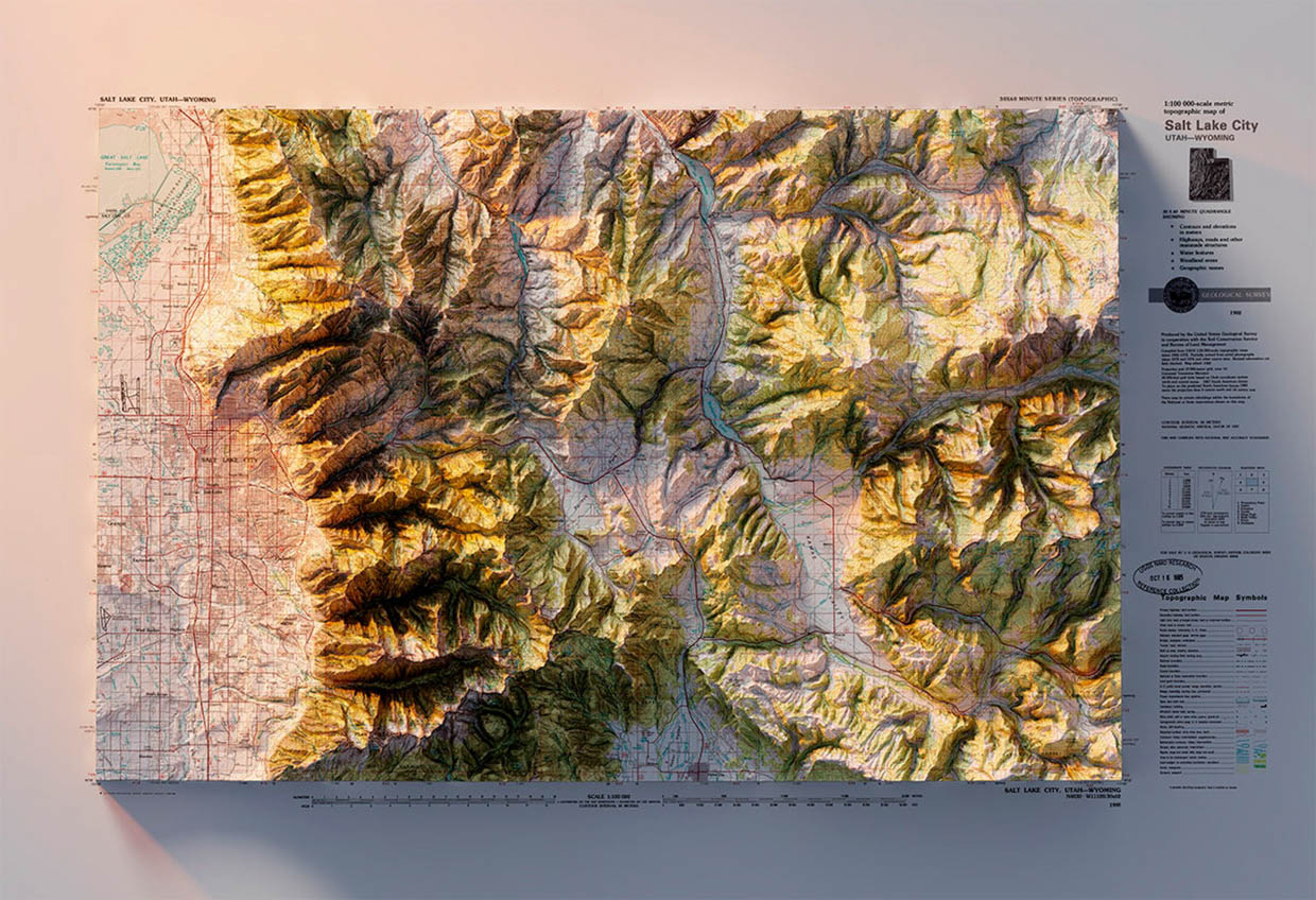
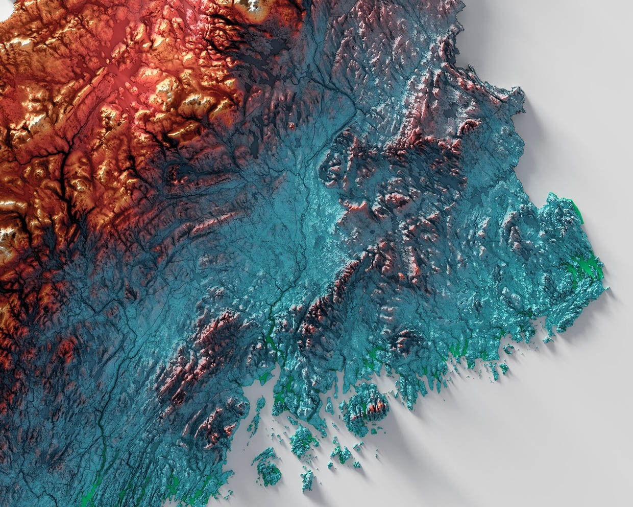
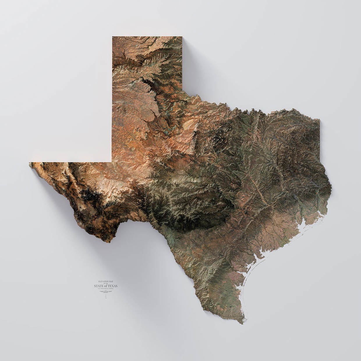
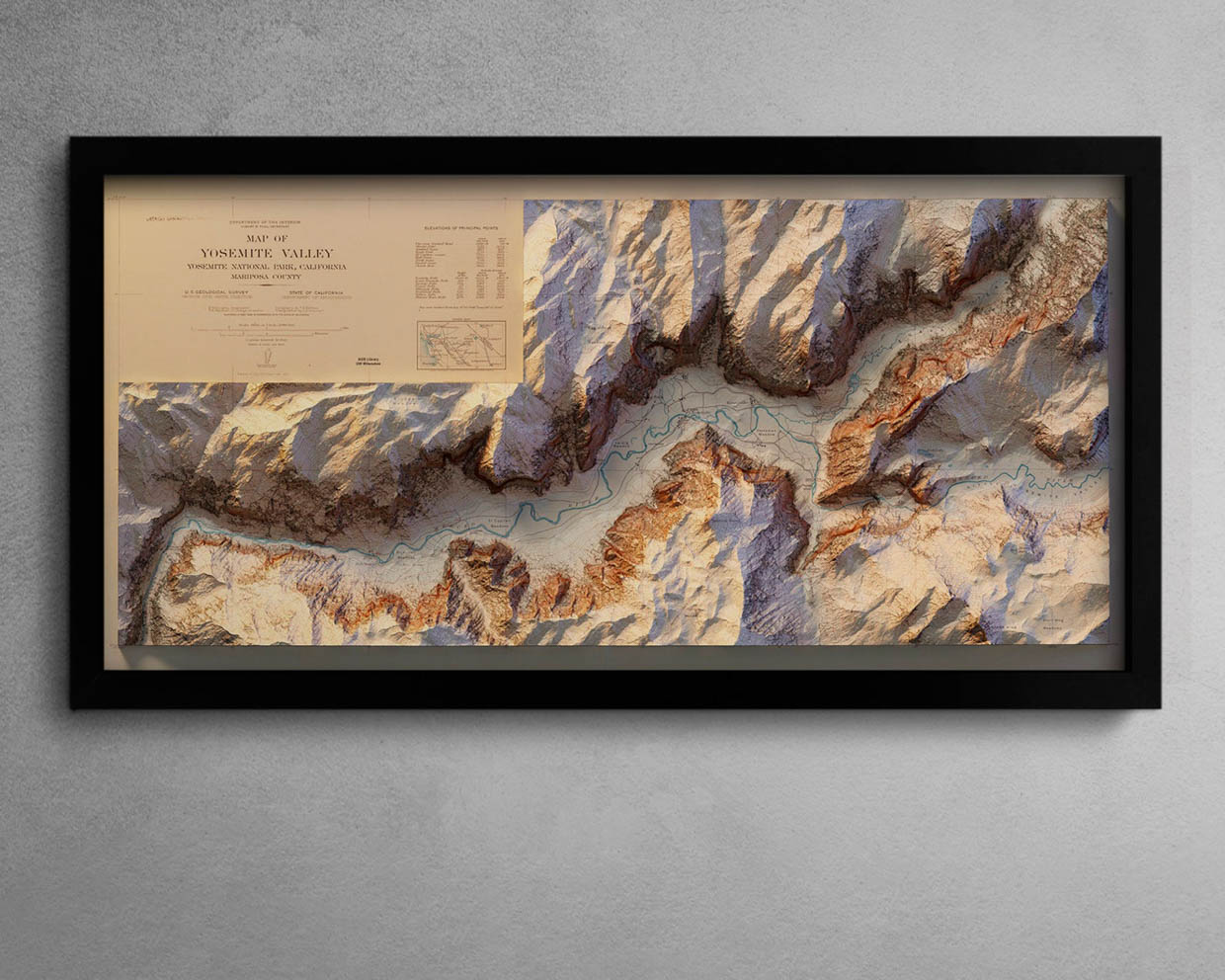
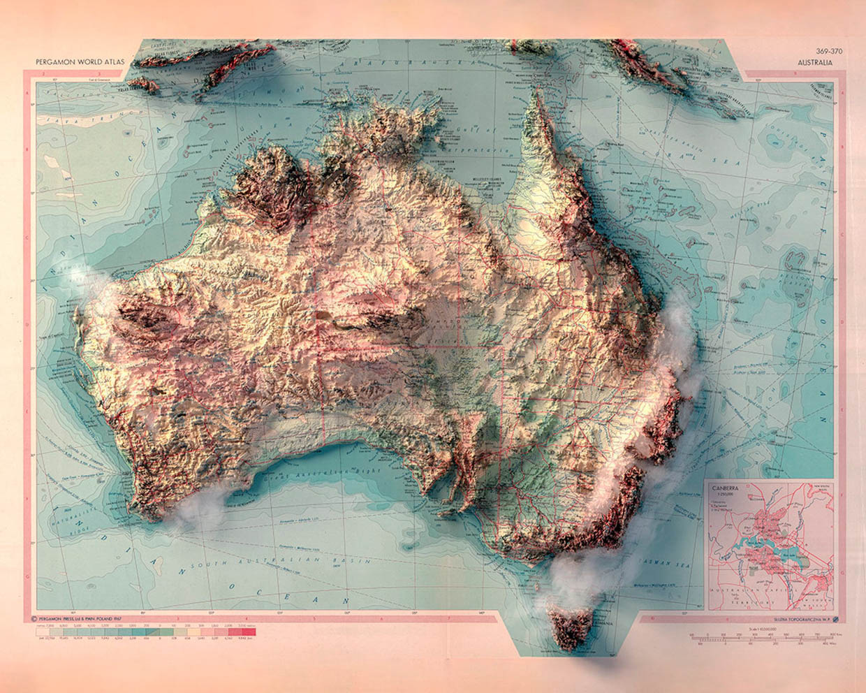
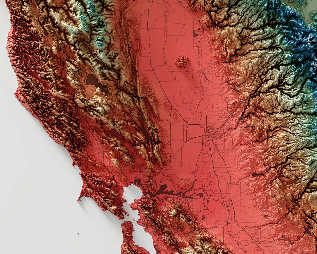
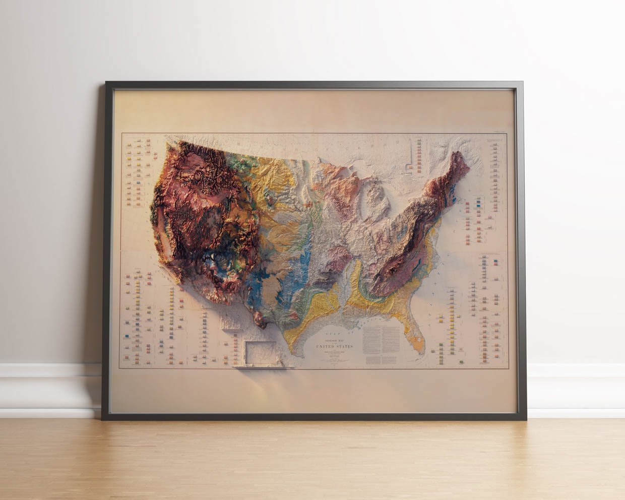
4DMAPART creates eye-popping elevation map prints. Each image jumps right off the page thanks to an impressive depth illusion that combines light, shadow, color, and topographical data captured by the Shuttle Radar Topography Mission. They can be printed onto photo paper or metal. The U.S. geology map is our favorite.
When you buy through links on our site, we may earn an affiliate commission. As an Amazon Associate I earn from qualifying purchases.